
Geospatial services, including Geographic Information Systems (GIS) and remote sensing technology, can enhance planning and decision-making by allowing spatial analysis and visual representation of project boundaries and potential impacts. Spatial presentation of environmental and social monitoring data can also support adaptive management and the development of more efficient an effective environmental and social management programs.
Geospatial services provides a powerful tool to assess land cover types over large areas, and can make field surveying more efficient. It can also be used to gain an understanding of historical changes in land cover and assets, to obtain a snapshot of current environmental and social conditions and to predict future changes. As a specialist environmental consulting company operating since 2016, UNISO has developed specialist capabilities in the use of GIS mapping and remote sensing technologies for various sectors.
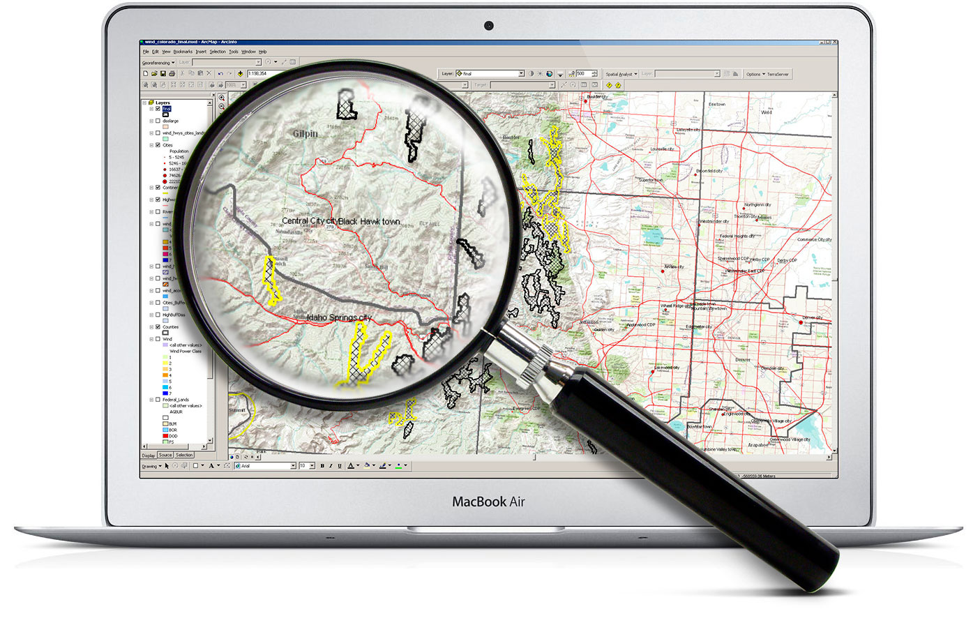
UNISO staff members are able to work with a range of data formats, including high-resolution satellite imagery and aerial photography, and are familiar with a number of commonly used GIS software packages.
Our Services
- Spatial analysis and map output services
- Climate change vulnerability mapping
- Quantification of land use change / impact
- Spatial database design and integration
- 3D geospatial visualisation
- Satellite Imagery Analysis